 vesseltracker.com
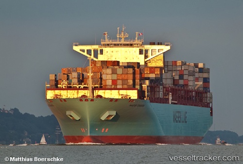
Maersk Edinburgh
Current StatusWhere is the vessel?
Maersk Edinburgh is currently in 211 nm SW of Nagybajom, based on AIS data received about 1h ago.
Latest AIS update:
Current position: 43.34007° N, 170.68262° E (211 nm SW of Nagybajom)
Average speed (last 7 days): Loading…
Average speed (last 30 days): Loading…
Vessel profile: Maersk Edinburgh is a Container Ship with dimensions 48m x 366m.
This page combines live AIS, route history, probable destination signals, nearby traffic, and port activity for practical vessel monitoring.
The current position of vessel Maersk Edinburgh is 43.34007 lat / 170.68262 lng. Updated: 2026-05-15 18:05:36 UTCDetails:
Live Vessel Maersk Edinburgh Analytics (details, animations, etc.)
Recent AIS points (UTC):
2026-05-15 13:54:47 UTC · 43.13833, 169.13499 · SOG 16 kn · COG -1°2026-05-15 16:20:19 UTC · 43.25632, 170.03209 · SOG 16.5 kn · COG 79°
2026-05-15 16:21:00 UTC · 43.25691, 170.03638 · SOG 16.2 kn · COG 79°
2026-05-15 18:05:36 UTC · 43.34007, 170.68262 · SOG 16.4 kn · COG 78°