 vesseltracker.com
 Rhone Maersk
Current Status
Where is the vessel?
Rhone Maersk is currently in 186 nm N of Port Mathurin, based on AIS data received about 1h ago.
Latest AIS update:
Current position: 16.60833° S, 63.75333° E (186 nm N of Port Mathurin)
Average speed (last 7 days): Loading…
Average speed (last 30 days): Loading…
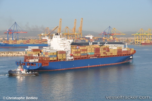
Vessel profile: Rhone Maersk is a Container Ship with dimensions 249m x 249m.
This page combines live AIS, route history, probable destination signals, nearby traffic, and port activity for practical vessel monitoring.
The current position of vessel Rhone Maersk is -16.60833 lat / 63.75333 lng. Updated: 2026-04-28 04:34:55 UTCNearest reference points:
- 241 nm N of Port Mathurin
- 154 nm NE of Port Mathurin
- 219 nm NW of Port Mathurin
Currently sailing under the flag of Denmark ![]()
Rhone Maersk built in 2012 year
Deadweight:
61962 tDetails:
Live Vessel Rhone Maersk Analytics (details, animations, etc.)
Recent AIS points (UTC):
2026-04-28 01:10:52 UTC · -15.92500, 64.65500 · SOG 19 kn · COG -1°2026-04-28 02:00:46 UTC · -16.09211, 64.43470 · SOG 19.4 kn · COG 231°
2026-04-28 04:05:33 UTC · -16.51031, 63.88387 · SOG 19.3 kn · COG 230°
2026-04-28 04:34:55 UTC · -16.60833, 63.75333 · SOG 19 kn · COG -1°