 vesseltracker.com
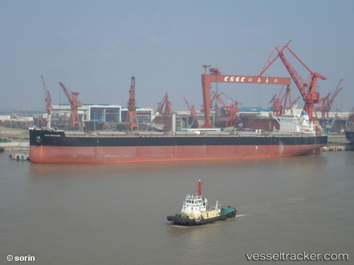
Eastern Bund
Current StatusWhere is the vessel?
Eastern Bund is currently in 12 nm W of Hulaylah Terminal, based on AIS data received less than 1h ago.
Latest AIS update:
Current position: 25.95087° N, 55.71753° E (12 nm W of Hulaylah Terminal)
Average speed (last 7 days): Loading…
Average speed (last 30 days): Loading…
Vessel profile: Eastern Bund is a Bulk Carrier with dimensions 43m x 254m.
This page combines live AIS, route history, probable destination signals, nearby traffic, and port activity for practical vessel monitoring.
The current position of vessel Eastern Bund is 25.95087 lat / 55.71753 lng. Updated: 2026-05-01 07:43:33 UTCNearest reference points:
- 13 nm NW of Hulaylah Terminal
- Near Hulaylah Terminal
- Near Ras Al Khaimah
Details:
Live Vessel Eastern Bund Analytics (details, animations, etc.)
Recent AIS points (UTC):
2026-05-01 04:22:30 UTC · 25.95311, 55.72078 · SOG 0 kn · COG -1°2026-05-01 05:22:28 UTC · 25.95271, 55.72070 · SOG 0 kn · COG -1°
2026-05-01 07:04:31 UTC · 25.95131, 55.71949 · SOG 0.1 kn · COG -1°
2026-05-01 07:43:33 UTC · 25.95087, 55.71753 · SOG 0.1 kn · COG -1°