 vesseltracker.com
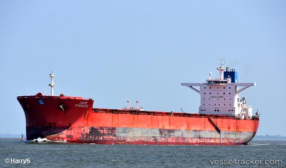
 LAVAREDO
Current Status
Where is the vessel?
LAVAREDO is currently in 29 nm W of Bayuquan, based on AIS data received less than 1h ago.
Latest AIS update:
Current position: 40.14968° N, 121.50663° E (29 nm W of Bayuquan)
Average speed (last 7 days): Loading…
Average speed (last 30 days): Loading…
Vessel profile: LAVAREDO is a Bulk Carrier with dimensions m x m.
This page combines live AIS, route history, probable destination signals, nearby traffic, and port activity for practical vessel monitoring.
The current position of vessel LAVAREDO is 40.14968 lat / 121.50663 lng. Updated: 2026-05-14 22:21:37 UTCNearest reference points:
- 15 nm W of Bayuquan
- 24 nm SE of HULUDAO
- 17 nm SW of PANJIN
Currently sailing under the flag of Liberia ![]()
Details:
Live Vessel LAVAREDO Analytics (details, animations, etc.)
Recent AIS points (UTC):
2026-05-14 19:27:33 UTC · 40.15432, 121.50848 · SOG 0.1 kn · COG 172°2026-05-14 19:54:37 UTC · 40.15366, 121.50652 · SOG 0.3 kn · COG 138°
2026-05-14 21:24:40 UTC · 40.14969, 121.50662 · SOG 0 kn · COG 57°
2026-05-14 22:21:37 UTC · 40.14968, 121.50663 · SOG 0 kn · COG 57°