 vesseltracker.com
 SAN NICOLAS
Current Status
Where is the vessel?
SAN NICOLAS is currently in 20 nm S of LA PALOMA, based on AIS data received less than 1h ago.
Latest AIS update:
Current position: 34.96963° S, 54.28560° W (20 nm S of LA PALOMA)
Average speed (last 7 days): Loading…
Average speed (last 30 days): Loading…
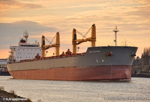
Vessel profile: SAN NICOLAS is a Bulk Carrier with dimensions 32m x 196m.
This page combines live AIS, route history, probable destination signals, nearby traffic, and port activity for practical vessel monitoring.
The current position of vessel SAN NICOLAS is -34.96963 lat / -54.28560 lng. Updated: 2026-05-01 06:10:55 UTCNearest reference points:
- 21 nm E of PUNTA DEL ESTE
- 12 nm S of Piriápolis
- 75 nm SE of LA PALOMA
Currently sailing under the flag of Marshall Islands ![]()
SAN NICOLAS built in 2010 year
Deadweight:
58802 tDetails:
Live Vessel SAN NICOLAS Analytics (details, animations, etc.)
Recent AIS points (UTC):
2026-05-01 01:58:25 UTC · -34.54983, -53.52230 · SOG 10.7 kn · COG 222°2026-05-01 03:39:42 UTC · -34.77265, -53.78144 · SOG 11.7 kn · COG 251°
2026-05-01 04:42:03 UTC · -34.83560, -54.00585 · SOG 10.9 kn · COG 242°
2026-05-01 06:10:55 UTC · -34.96963, -54.28560 · SOG 10.6 kn · COG 247°