 vesseltracker.com
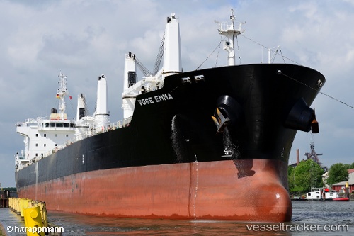
 JAGUAR
Current Status
Where is the vessel?
JAGUAR is currently in 18 nm S of Piriápolis, based on AIS data received about 1h ago.
Latest AIS update:
Current position: 35.15833° S, 55.23241° W (18 nm S of Piriápolis)
Average speed (last 7 days): Loading…
Average speed (last 30 days): Loading…
Vessel profile: JAGUAR is a Bulk Carrier with dimensions m x m.
This page combines live AIS, route history, probable destination signals, nearby traffic, and port activity for practical vessel monitoring.
The current position of vessel JAGUAR is -35.15833 lat / -55.23241 lng. Updated: 2026-05-14 13:38:10 UTCNearest reference points:
- 12 nm S of Piriápolis
- 21 nm E of PUNTA DEL ESTE
- 16 nm N of Cabo San Antonio
Currently sailing under the flag of Marshall Islands ![]()
Details:
Live Vessel JAGUAR Analytics (details, animations, etc.)
Recent AIS points (UTC):
2026-05-14 11:14:01 UTC · -35.15879, -55.23180 · SOG 0.3 kn · COG 229°2026-05-14 11:53:02 UTC · -35.15866, -55.23223 · SOG 0.2 kn · COG 217°
2026-05-14 13:30:11 UTC · -35.15859, -55.23197 · SOG 1 kn · COG 216°
2026-05-14 13:38:10 UTC · -35.15833, -55.23241 · SOG 0.3 kn · COG 194°