 vesseltracker.com
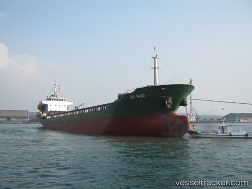
 ABDUL
ABDUL
Current Status
Where is the vessel?
ABDUL is currently in 17 nm NE of Marsalforn, based on AIS data received about 1h ago.
Latest AIS update:
Current position: 36.29717° N, 14.45013° E (17 nm NE of Marsalforn)
Average speed (last 7 days): Loading…
Average speed (last 30 days): Loading…
Vessel profile: ABDUL is a Cargo with dimensions m x m.
This page combines live AIS, route history, probable destination signals, nearby traffic, and port activity for practical vessel monitoring.
The current position of vessel ABDUL is 36.29717 lat / 14.45013 lng. Updated: 2026-05-14 05:44:29 UTCNearest reference points:
- 17 nm S of Marina di Ragusa
- Near CIRKEWWA
- Near Saint Julians
Currently sailing under the flag of Saint Kitts and Nevis ![]()
Details:
Live Vessel ABDUL Analytics (details, animations, etc.)
Recent AIS points (UTC):
2026-05-14 01:28:38 UTC · 36.55684, 13.57972 · SOG 10.2 kn · COG 104°2026-05-14 03:45:00 UTC · 36.42671, 14.04401 · SOG 10.2 kn · COG 111°
2026-05-14 04:35:28 UTC · 36.37217, 14.21769 · SOG 10.5 kn · COG 116°
2026-05-14 05:44:29 UTC · 36.29717, 14.45013 · SOG 10.3 kn · COG 111°