 vesseltracker.com
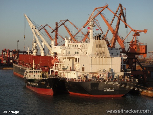
Warta
Current StatusWhere is the vessel?
Warta is currently in 113 nm SW of Positra, based on AIS data received about 2h ago.
Latest AIS update:
Current position: 21.10574° N, 67.70470° E (113 nm SW of Positra)
Average speed (last 7 days): Loading…
Average speed (last 30 days): Loading…
Vessel profile: Warta is a Bulk Carrier with dimensions 31m x 189m.
This page combines live AIS, route history, probable destination signals, nearby traffic, and port activity for practical vessel monitoring.
The current position of vessel Warta is 21.10574 lat / 67.70470 lng. Updated: 2026-04-28 23:15:50 UTCNearest reference points:
- 54 nm S of Positra
- 49 nm S of Positra
- 13 nm W of Måndvi
Details:
Live Vessel Warta Analytics (details, animations, etc.)
Recent AIS points (UTC):
2026-04-28 21:45:38 UTC · 20.87167, 67.79333 · SOG 9 kn · COG -1°2026-04-28 23:15:50 UTC · 21.10574, 67.70470 · SOG 9.9 kn · COG 343°
2026-04-28 23:15:50 UTC · 21.10574, 67.70470 · SOG 9.9 kn · COG 343°
2026-04-28 23:15:50 UTC · 21.10574, 67.70470 · SOG 9.9 kn · COG 343°