 vesseltracker.com
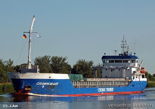
 LARISSA B
Current Status
Where is the vessel?
LARISSA B is currently in Near Isle of Sheppey, based on AIS data received less than 1h ago.
Latest AIS update:
Current position: 51.38408° N, 0.75901° E (Near Isle of Sheppey)
Average speed (last 7 days): Loading…
Average speed (last 30 days): Loading…
Vessel profile: LARISSA B is a General Cargo with dimensions m x m.
This page combines live AIS, route history, probable destination signals, nearby traffic, and port activity for practical vessel monitoring.
The current position of vessel LARISSA B is 51.38408 lat / 0.75901 lng. Updated: 2026-05-16 18:08:06 UTCNearest reference points:
- Near GILLINGHAM
- Near BURNHAM ON CROUCH
- Near HEYBRIDGE
Details:
Live Vessel LARISSA B Analytics (details, animations, etc.)
Recent AIS points (UTC):
2026-05-16 14:05:05 UTC · 51.38406, 0.75903 · SOG 0 kn · COG 200°2026-05-16 15:32:05 UTC · 51.38405, 0.75910 · SOG 0 kn · COG 199°
2026-05-16 17:05:05 UTC · 51.38405, 0.75908 · SOG 0 kn · COG 200°
2026-05-16 18:08:06 UTC · 51.38408, 0.75901 · SOG 0 kn · COG 200°