 vesseltracker.com
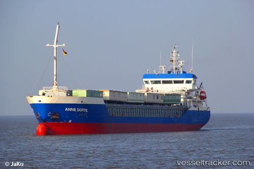
 HILDA B
Current Status
Where is the vessel?
HILDA B is currently in Near DUNMORE EAST, based on AIS data received less than 1h ago.
Latest AIS update:
Current position: 52.00904° N, 6.92532° W (Near DUNMORE EAST)
Average speed (last 7 days): Loading…
Average speed (last 30 days): Loading…
Vessel profile: HILDA B is a General Cargo with dimensions m x m.
This page combines live AIS, route history, probable destination signals, nearby traffic, and port activity for practical vessel monitoring.
The current position of vessel HILDA B is 52.00904 lat / -6.92532 lng. Updated: 2026-05-14 11:34:35 UTCNearest reference points:
- Near WEXFORD
- Near HELVICK
- 45 nm SE of Covent Garden
Details:
Live Vessel HILDA B Analytics (details, animations, etc.)
Recent AIS points (UTC):
2026-05-14 07:21:37 UTC · 51.50941, -6.60546 · SOG 8.5 kn · COG 339°2026-05-14 09:43:55 UTC · 51.82219, -6.81105 · SOG 7.3 kn · COG 344°
2026-05-14 10:38:34 UTC · 51.92740, -6.87336 · SOG 6.5 kn · COG 344°
2026-05-14 11:34:35 UTC · 52.00904, -6.92532 · SOG 5.7 kn · COG 345°