 vesseltracker.com
 SOPHIA
Current Status
Where is the vessel?
SOPHIA is currently in 260 nm NW of Malampaya, based on AIS data received about 1h ago.
Latest AIS update:
Current position: 13.92500° N, 115.39333° E (260 nm NW of Malampaya)
Average speed (last 7 days): Loading…
Average speed (last 30 days): Loading…
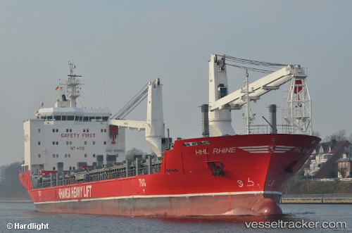
Vessel profile: SOPHIA is a General Cargo with dimensions m x m.
This page combines live AIS, route history, probable destination signals, nearby traffic, and port activity for practical vessel monitoring.
The current position of vessel SOPHIA is 13.92500 lat / 115.39333 lng. Updated: 2026-05-14 03:50:38 UTCNearest reference points:
- 282 nm E of Tan Cang Qui Nhon
- 237 nm W of Tindalo Oil Field
- 222 nm W of Iba
Currently sailing under the flag of Antigua and Barbuda ![]()
Details:
Live Vessel SOPHIA Analytics (details, animations, etc.)
Recent AIS points (UTC):
2026-05-14 00:53:37 UTC · 14.54333, 115.69167 · SOG 13 kn · COG -1°2026-05-14 01:05:38 UTC · 14.50167, 115.67167 · SOG 13 kn · COG -1°
2026-05-14 03:44:38 UTC · 13.94500, 115.40333 · SOG 13 kn · COG -1°
2026-05-14 03:50:38 UTC · 13.92500, 115.39333 · SOG 13 kn · COG -1°