 vesseltracker.com
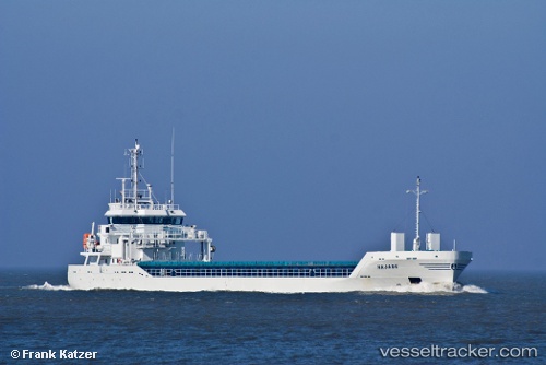
 KATARIINA
Current Status
Where is the vessel?
KATARIINA is currently in 35 nm W of Pilies juru uosto PVP/Klaipeda, based on AIS data received about 3h ago.
Latest AIS update:
Current position: 55.78667° N, 20.04833° E (35 nm W of Pilies juru uosto PVP/Klaipeda)
Average speed (last 7 days): Loading…
Average speed (last 30 days): Loading…
Vessel profile: KATARIINA is a General Cargo Ship with dimensions 95m x 14m.
This page combines live AIS, route history, probable destination signals, nearby traffic, and port activity for practical vessel monitoring.
The current position of vessel KATARIINA is 55.78667 lat / 20.04833 lng. Updated: 2026-04-25 21:39:02 UTCNearest reference points:
- 39 nm W of Pilies juru uosto PVP/Klaipeda
- 10 nm NW of Svetlogorsk
- 17 nm W of Gusevka
Currently sailing under the flag of Antigua and Barbuda ![]()
KATARIINA built in 2011 year
Deadweight:
4114 tDetails:
Live Vessel KATARIINA Analytics (details, animations, etc.)
Recent AIS points (UTC):
2026-04-25 20:03:41 UTC · 55.70998, 20.20272 · SOG 9.4 kn · COG 265°2026-04-25 21:39:02 UTC · 55.78667, 20.04833 · SOG 7 kn · COG -1°
2026-04-25 21:39:02 UTC · 55.78667, 20.04833 · SOG 7 kn · COG -1°
2026-04-25 21:39:02 UTC · 55.78667, 20.04833 · SOG 7 kn · COG -1°