 vesseltracker.com
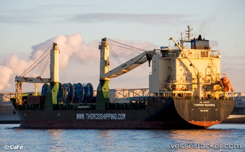
 PACIFIC INNOVATION
Current Status
Where is the vessel?
PACIFIC INNOVATION is currently in Near Taicang, based on AIS data received less than 1h ago.
Latest AIS update:
Current position: 31.65346° N, 121.25518° E (Near Taicang)
Average speed (last 7 days): Loading…
Average speed (last 30 days): Loading…
Vessel profile: PACIFIC INNOVATION is a General Cargo with dimensions m x m.
This page combines live AIS, route history, probable destination signals, nearby traffic, and port activity for practical vessel monitoring.
The current position of vessel PACIFIC INNOVATION is 31.65346 lat / 121.25518 lng. Updated: 2026-05-15 03:37:23 UTCNearest reference points:
- Near Taicang
- Near Chongming
- Near Jiading
Currently sailing under the flag of Marshall Islands ![]()
Details:
Live Vessel PACIFIC INNOVATION Analytics (details, animations, etc.)
Recent AIS points (UTC):
2026-05-14 21:22:24 UTC · 31.65106, 121.25949 · SOG 0 kn · COG 350°2026-05-14 22:22:21 UTC · 31.65119, 121.25951 · SOG 0 kn · COG 348°
2026-05-15 00:16:22 UTC · 31.65095, 121.25823 · SOG 0.2 kn · COG 40°
2026-05-15 03:37:23 UTC · 31.65346, 121.25518 · SOG 0.4 kn · COG 131°