 vesseltracker.com
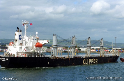
Amalea
Current StatusWhere is the vessel?
Amalea is currently in 36 nm W of Cape Lopez, based on AIS data received about 1d ago.
Latest AIS update:
Current position: 0.57946° S, 8.12607° E (36 nm W of Cape Lopez)
Average speed (last 7 days): Loading…
Average speed (last 30 days): Loading…
Vessel profile: Amalea is a Bulk Carrier with dimensions 27m x 169m.
This page combines live AIS, route history, probable destination signals, nearby traffic, and port activity for practical vessel monitoring.
The current position of vessel Amalea is -0.57946 lat / 8.12607 lng. Updated: 2026-05-13 00:53:28 UTCNearest reference points:
- Near Cape Lopez
- Near Port Gentil
Details:
Live Vessel Amalea Analytics (details, animations, etc.)
Recent AIS points (UTC):
2026-05-13 00:53:28 UTC · -0.57946, 8.12607 · SOG 12.4 kn · COG 196°2026-05-13 00:53:28 UTC · -0.57946, 8.12607 · SOG 12.4 kn · COG 196°
2026-05-13 00:53:28 UTC · -0.57946, 8.12607 · SOG 12.4 kn · COG 196°
2026-05-13 00:53:28 UTC · -0.57946, 8.12607 · SOG 12.4 kn · COG 196°