 vesseltracker.com
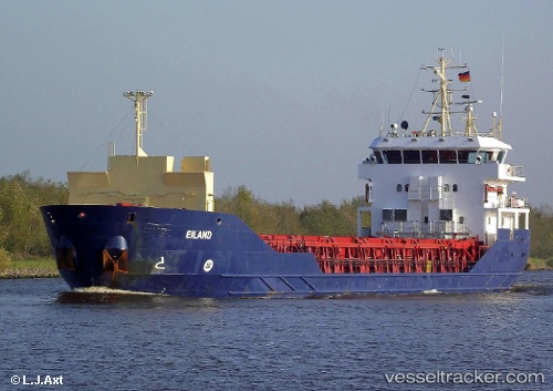
 Borgenfjord
Current Status
Where is the vessel?
Borgenfjord is currently in Near MOIRANA, based on AIS data received about 1h ago.
Latest AIS update:
Current position: 66.31706° N, 14.12597° E (Near MOIRANA)
Average speed (last 7 days): Loading…
Average speed (last 30 days): Loading…
Vessel profile: Borgenfjord is a Multi Purpose Carrier with dimensions 70m x 12m.
This page combines live AIS, route history, probable destination signals, nearby traffic, and port activity for practical vessel monitoring.
The current position of vessel Borgenfjord is 66.31706 lat / 14.12597 lng. Updated: 2026-05-14 14:06:57 UTCNearest reference points:
- Near Ørnes
- Near Tonnes
- Near Misten
Currently sailing under the flag of Norway ![]()
Borgenfjord built in 2009 year
Deadweight:
3571 tDetails:
Live Vessel Borgenfjord Analytics (details, animations, etc.)
Recent AIS points (UTC):
2026-05-14 10:39:53 UTC · 66.31702, 14.12587 · SOG 0 kn · COG 255°2026-05-14 11:39:55 UTC · 66.31701, 14.12585 · SOG 0 kn · COG 255°
2026-05-14 13:42:57 UTC · 66.31704, 14.12596 · SOG 0 kn · COG 255°
2026-05-14 14:06:57 UTC · 66.31706, 14.12597 · SOG 0 kn · COG 255°