 vesseltracker.com
 SEA LA BAMBA
Current Status
Where is the vessel?
SEA LA BAMBA is currently in Near La Libertad, based on AIS data received less than 1h ago.
Latest AIS update:
Current position: 2.16852° S, 80.90308° W (Near La Libertad)
Average speed (last 7 days): Loading…
Average speed (last 30 days): Loading…
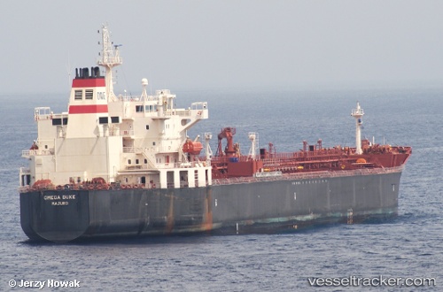
Vessel profile: SEA LA BAMBA is a Chemical Oil Products Tanker with dimensions 183m x 32m.
This page combines live AIS, route history, probable destination signals, nearby traffic, and port activity for practical vessel monitoring.
The current position of vessel SEA LA BAMBA is -2.16852 lat / -80.90308 lng. Updated: 2026-04-30 22:47:03 UTCNearest reference points:
- Near La Libertad
- Near Guayaquil
- Near Samborondon
Currently sailing under the flag of Liberia ![]()
SEA LA BAMBA built in 2009 year
Deadweight:
46093 tDetails:
Live Vessel SEA LA BAMBA Analytics (details, animations, etc.)
Recent AIS points (UTC):
2026-04-30 19:36:14 UTC · -2.16833, -80.90167 · SOG 0 kn · COG -1°2026-04-30 19:37:59 UTC · -2.16862, -80.90304 · SOG 0 kn · COG 252°
2026-04-30 21:35:00 UTC · -2.16787, -80.90354 · SOG 0.2 kn · COG 214°
2026-04-30 22:47:03 UTC · -2.16852, -80.90308 · SOG 0.1 kn · COG 244°