 vesseltracker.com
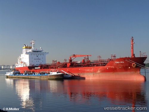
 TIMA MFOUNDI
Current Status
Where is the vessel?
TIMA MFOUNDI is currently in Near Ablogamé, based on AIS data received about 1h ago.
Latest AIS update:
Current position: 6.04035° N, 1.30018° E (Near Ablogamé)
Average speed (last 7 days): Loading…
Average speed (last 30 days): Loading…
Vessel profile: TIMA MFOUNDI is a Oil/Chemical Tanker with dimensions m x m.
This page combines live AIS, route history, probable destination signals, nearby traffic, and port activity for practical vessel monitoring.
The current position of vessel TIMA MFOUNDI is 6.04035 lat / 1.30018 lng. Updated: 2026-04-24 11:32:46 UTCNearest reference points:
- Near Ablogamé
- Near Cotonou
- Near Kirikiri
Currently sailing under the flag of Liberia ![]()
Details:
Live Vessel TIMA MFOUNDI Analytics (details, animations, etc.)
Recent AIS points (UTC):
2026-04-24 07:38:51 UTC · 6.04016, 1.30054 · SOG 0.6 kn · COG 226°2026-04-24 10:14:49 UTC · 6.04037, 1.30026 · SOG 0.3 kn · COG 213°
2026-04-24 10:56:50 UTC · 6.04030, 1.30018 · SOG 0.1 kn · COG 212°
2026-04-24 11:32:46 UTC · 6.04035, 1.30018 · SOG 0.2 kn · COG 218°