 vesseltracker.com
 Bangsaotong
Current Status
Where is the vessel?
Bangsaotong is currently in 11 nm W of Nasugbu, Luzon, based on AIS data received less than 1h ago.
Latest AIS update:
Current position: 14.13167° N, 120.46500° E (11 nm W of Nasugbu, Luzon)
Average speed (last 7 days): Loading…
Average speed (last 30 days): Loading…
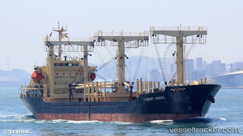
Vessel profile: Bangsaotong is a General Cargo Ship with dimensions 112m x 19m.
This page combines live AIS, route history, probable destination signals, nearby traffic, and port activity for practical vessel monitoring.
The current position of vessel Bangsaotong is 14.13167 lat / 120.46500 lng. Updated: 2026-05-14 17:37:10 UTCNearest reference points:
- Near Nasugbu, Luzon
- 19 nm SW of MARIVELES
- Near Noveleta
Currently sailing under the flag of Thailand ![]()
Bangsaotong built in 2007 year
Deadweight:
8763 tDetails:
Live Vessel Bangsaotong Analytics (details, animations, etc.)
Recent AIS points (UTC):
2026-05-14 13:57:23 UTC · 14.13941, 120.44162 · SOG 1.5 kn · COG 323°2026-05-14 15:43:09 UTC · 14.13500, 120.44833 · SOG 0 kn · COG -1°
2026-05-14 16:53:44 UTC · 14.13465, 120.45882 · SOG 0.4 kn · COG 26°
2026-05-14 17:37:10 UTC · 14.13167, 120.46500 · SOG 0 kn · COG -1°