 vesseltracker.com
 SOLARIS
Current Status
Where is the vessel?
SOLARIS is currently in Near River Ridge, based on AIS data received less than 1h ago.
Latest AIS update:
Current position: 29.93980° N, 90.22181° W (Near River Ridge)
Average speed (last 7 days): Loading…
Average speed (last 30 days): Loading…
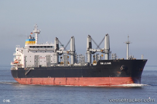
Vessel profile: SOLARIS is a Bulk Carrier with dimensions m x m.
This page combines live AIS, route history, probable destination signals, nearby traffic, and port activity for practical vessel monitoring.
The current position of vessel SOLARIS is 29.93980 lat / -90.22181 lng. Updated: 2026-05-13 21:43:11 UTCNearest reference points:
- Near Marrero
- Near Boutte
- Near Good Hope
Currently sailing under the flag of Portugal ![]()
Details:
Live Vessel SOLARIS Analytics (details, animations, etc.)
Recent AIS points (UTC):
2026-05-13 18:01:15 UTC · 29.93981, -90.22180 · SOG 0 kn · COG 349°2026-05-13 19:28:11 UTC · 29.93982, -90.22178 · SOG 0 kn · COG 348°
2026-05-13 20:19:11 UTC · 29.93981, -90.22182 · SOG 0 kn · COG 350°
2026-05-13 21:43:11 UTC · 29.93980, -90.22181 · SOG 0 kn · COG 349°