 vesseltracker.com
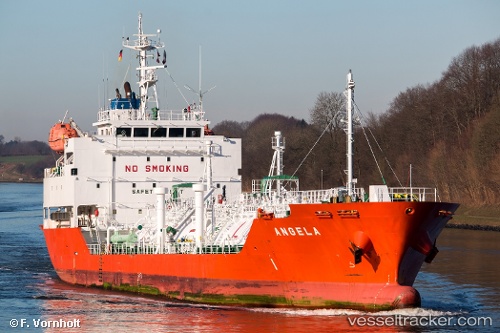
 Angela
Current Status
Where is the vessel?
Angela is currently in Near Hunsdon, based on AIS data received less than 1h ago.
Latest AIS update:
Current position: 51.77380° N, 3.35523° E (Near Hunsdon)
Average speed (last 7 days): Loading…
Average speed (last 30 days): Loading…
Vessel profile: Angela is a Lpg Tanker with dimensions 97m x 17m.
This page combines live AIS, route history, probable destination signals, nearby traffic, and port activity for practical vessel monitoring.
The current position of vessel Angela is 51.77380 lat / 3.35523 lng. Updated: 2026-04-30 21:55:24 UTCNearest reference points:
- Near Hunsdon
- 12 nm NE of Hunsdon
- Near OOSTWATERING
Currently sailing under the flag of Belgium ![]()
Angela built in 2009 year
Deadweight:
3996 tDetails:
Live Vessel Angela Analytics (details, animations, etc.)
Recent AIS points (UTC):
2026-04-30 17:43:54 UTC · 51.77453, 3.35509 · SOG 0 kn · COG 89°2026-04-30 19:31:26 UTC · 51.77381, 3.35522 · SOG 0 kn · COG 63°
2026-04-30 19:58:24 UTC · 51.77372, 3.35535 · SOG 0 kn · COG 59°
2026-04-30 21:55:24 UTC · 51.77380, 3.35523 · SOG 0 kn · COG 60°