 vesseltracker.com
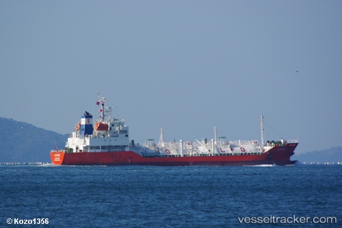
 ANNE
ANNE
Current Status
Where is the vessel?
ANNE is currently in 62 nm SE of Lü-hua Shan, based on AIS data received less than 1h ago.
Latest AIS update:
Current position: 30.05102° N, 123.43002° E (62 nm SE of Lü-hua Shan)
Average speed (last 7 days): Loading…
Average speed (last 30 days): Loading…
Vessel profile: ANNE is a Lpg Tanker with dimensions m x m.
This page combines live AIS, route history, probable destination signals, nearby traffic, and port activity for practical vessel monitoring.
The current position of vessel ANNE is 30.05102 lat / 123.43002 lng. Updated: 2026-05-15 00:09:21 UTCNearest reference points:
- 60 nm E of JINHAI HEAVY INDUSTR
- 57 nm SE of Lü-hua Shan
- 64 nm E of ZHOUSHAN
Currently sailing under the flag of Marshall Islands ![]()
Details:
Live Vessel ANNE Analytics (details, animations, etc.)
Recent AIS points (UTC):
2026-05-14 19:54:19 UTC · 30.05015, 123.42973 · SOG 0.2 kn · COG 82°2026-05-14 21:21:20 UTC · 30.05050, 123.42972 · SOG 0.3 kn · COG 106°
2026-05-14 22:21:21 UTC · 30.05077, 123.42983 · SOG 0.2 kn · COG 121°
2026-05-15 00:09:21 UTC · 30.05102, 123.43002 · SOG 0.1 kn · COG 137°