 vesseltracker.com
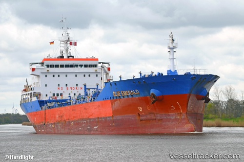
Blue Emerald
Current StatusWhere is the vessel?
Blue Emerald is currently in 12 nm NE of Aseng FPSO, based on AIS data received less than 1h ago.
Latest AIS update:
Current position: 3.44712° N, 9.31761° E (12 nm NE of Aseng FPSO)
Average speed (last 7 days): Loading…
Average speed (last 30 days): Loading…
Vessel profile: Blue Emerald is a Chemical Oil Products Tanker with dimensions 23m x 144m.
This page combines live AIS, route history, probable destination signals, nearby traffic, and port activity for practical vessel monitoring.
The current position of vessel Blue Emerald is 3.44712 lat / 9.31761 lng. Updated: 2026-05-14 20:01:48 UTCNearest reference points:
- Near Victoria
- Near Moudi Terminal
- Near Odudu Terminal
Details:
Live Vessel Blue Emerald Analytics (details, animations, etc.)
Recent AIS points (UTC):
2026-05-14 16:20:05 UTC · 3.94702, 9.57507 · SOG 7.9 kn · COG 220°2026-05-14 17:23:04 UTC · 3.84849, 9.45142 · SOG 10.3 kn · COG 230°
2026-05-14 19:38:44 UTC · 3.50797, 9.33297 · SOG 9.5 kn · COG 191°
2026-05-14 20:01:48 UTC · 3.44712, 9.31761 · SOG 9.9 kn · COG 196°