 vesseltracker.com
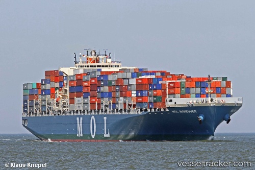
 ONE MANEUVER
Current Status
Where is the vessel?
ONE MANEUVER is currently in 84 nm SW of Capelo, based on AIS data received less than 1h ago.
Latest AIS update:
Current position: 37.50009° N, 29.89963° W (84 nm SW of Capelo)
Average speed (last 7 days): Loading…
Average speed (last 30 days): Loading…
Vessel profile: ONE MANEUVER is a Container Ship with dimensions 42m x 302m.
This page combines live AIS, route history, probable destination signals, nearby traffic, and port activity for practical vessel monitoring.
The current position of vessel ONE MANEUVER is 37.50009 lat / -29.89963 lng. Updated: 2026-05-14 07:39:54 UTCCurrently sailing under the flag of Japan ![]()
ONE MANEUVER built in 2011 year
Deadweight:
79423 tDetails:
Live Vessel ONE MANEUVER Analytics (details, animations, etc.)
Recent AIS points (UTC):
2026-05-14 04:02:26 UTC · 37.50072, -31.39386 · SOG 19.6 kn · COG 89°2026-05-14 06:05:48 UTC · 37.49937, -30.55127 · SOG 19.8 kn · COG 89°
2026-05-14 07:06:48 UTC · 37.49625, -30.12823 · SOG 19.4 kn · COG 89°
2026-05-14 07:39:54 UTC · 37.50009, -29.89963 · SOG 19.8 kn · COG 90°