 vesseltracker.com
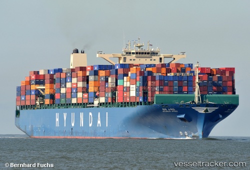
Maersk Exeter
Current StatusWhere is the vessel?
Maersk Exeter is currently in 84 nm NE of Jingjiang, based on AIS data received about 1h ago.
Latest AIS update:
Current position: 31.72679° N, 123.86102° E (84 nm NE of Jingjiang)
Average speed (last 7 days): Loading…
Average speed (last 30 days): Loading…
Vessel profile: Maersk Exeter is a Container Ship with dimensions 48m x 366m.
This page combines live AIS, route history, probable destination signals, nearby traffic, and port activity for practical vessel monitoring.
The current position of vessel Maersk Exeter is 31.72679 lat / 123.86102 lng. Updated: 2026-04-28 20:11:29 UTCNearest reference points:
- 70 nm NE of Jingjiang
- 117 nm NE of Jingjiang
- 97 nm E of Lü-hua Shan
Details:
Live Vessel Maersk Exeter Analytics (details, animations, etc.)
Recent AIS points (UTC):
2026-04-28 15:48:59 UTC · 31.00378, 123.85576 · SOG 10.7 kn · COG 2°2026-04-28 16:14:18 UTC · 31.07887, 123.85851 · SOG 10.5 kn · COG 1°
2026-04-28 17:36:27 UTC · 31.31691, 123.87089 · SOG 10.1 kn · COG 358°
2026-04-28 20:11:29 UTC · 31.72679, 123.86102 · SOG 9.8 kn · COG 4°