 vesseltracker.com
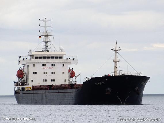
 STAR II
Current Status
Where is the vessel?
STAR II is currently in 14 nm NE of Cide, based on AIS data received about 3h ago.
Latest AIS update:
Current position: 42.08864° N, 33.16808° E (14 nm NE of Cide)
Average speed (last 7 days): Loading…
Average speed (last 30 days): Loading…
Vessel profile: STAR II is a Bulk Carrier with dimensions 152m x 21m.
This page combines live AIS, route history, probable destination signals, nearby traffic, and port activity for practical vessel monitoring.
The current position of vessel STAR II is 42.08864 lat / 33.16808 lng. Updated: 2026-03-27 02:49:51 UTCNearest reference points:
- Near Cide
- 27 nm NW of INEBOLU
- 18 nm NW of INEBOLU
Currently sailing under the flag of Liberia ![]()
STAR II built in 2007 year
Deadweight:
16884 tDetails:
Live Vessel STAR II Analytics (details, animations, etc.)
Recent AIS points (UTC):
2026-03-26 21:36:17 UTC · 41.66773, 31.90408 · SOG 11.8 kn · COG 65°2026-03-26 23:24:33 UTC · 41.81405, 32.33780 · SOG 12.1 kn · COG -1°
2026-03-27 01:29:44 UTC · 41.97961, 32.85533 · SOG 11.8 kn · COG -1°
2026-03-27 02:49:51 UTC · 42.08864, 33.16808 · SOG 11.6 kn · COG -1°