 vesseltracker.com
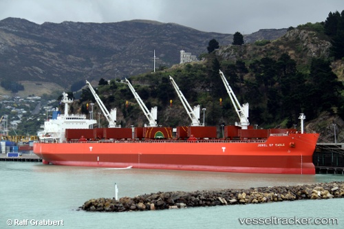
 Astra N
Current Status
Where is the vessel?
Astra N is currently in 212 nm SE of Quelimane, based on AIS data received about 2h ago.
Latest AIS update:
Current position: 20.20735° S, 39.70102° E (212 nm SE of Quelimane)
Average speed (last 7 days): Loading…
Average speed (last 30 days): Loading…
Vessel profile: Astra N is a Bulk Carrier with dimensions 190m x 190m.
This page combines live AIS, route history, probable destination signals, nearby traffic, and port activity for practical vessel monitoring.
The current position of vessel Astra N is -20.20735 lat / 39.70102 lng. Updated: 2026-05-14 16:06:55 UTCNearest reference points:
- 229 nm SE of Quelimane
- 95 nm E of Quelimane
Currently sailing under the flag of Marshall Is ![]()
Astra N built in 2010 year
Deadweight:
55762 tDetails:
Live Vessel Astra N Analytics (details, animations, etc.)
Recent AIS points (UTC):
2026-05-14 13:33:12 UTC · -20.21092, 39.76840 · SOG 4.9 kn · COG 225°2026-05-14 13:53:07 UTC · -20.21591, 39.75283 · SOG 1.9 kn · COG 243°
2026-05-14 16:02:04 UTC · -20.20753, 39.70258 · SOG 1 kn · COG 243°
2026-05-14 16:06:55 UTC · -20.20735, 39.70102 · SOG 1 kn · COG 244°