 vesseltracker.com
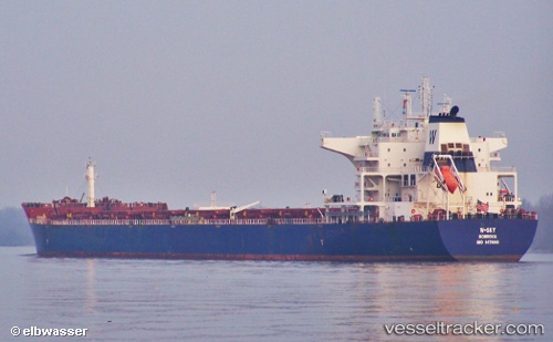
W sky
Current StatusWhere is the vessel?
W sky is currently in 170 nm S of Conflict Group, based on AIS data received less than 1h ago.
Latest AIS update:
Current position: 13.61833° S, 151.77499° E (170 nm S of Conflict Group)
Average speed (last 7 days): Loading…
Average speed (last 30 days): Loading…
Vessel profile: W sky is a Bulk Carrier with dimensions 38m x 229m.
This page combines live AIS, route history, probable destination signals, nearby traffic, and port activity for practical vessel monitoring.
The current position of vessel W sky is -13.61833 lat / 151.77499 lng. Updated: 2026-05-13 02:42:59 UTCNearest reference points:
- 209 nm N of Coral Sea
Details:
Live Vessel W sky Analytics (details, animations, etc.)
Recent AIS points (UTC):
2026-05-12 22:48:59 UTC · -14.28667, 151.69501 · SOG 10 kn · COG -1°2026-05-12 23:31:01 UTC · -14.16500, 151.70500 · SOG 10 kn · COG -1°
2026-05-13 01:46:01 UTC · -13.77500, 151.74167 · SOG 10 kn · COG -1°
2026-05-13 02:42:59 UTC · -13.61833, 151.77499 · SOG 9 kn · COG -1°