 vesseltracker.com
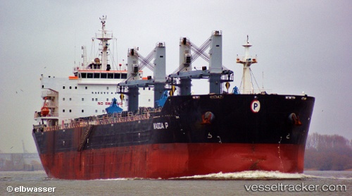
Magda P
Current StatusWhere is the vessel?
Magda P is currently in Near Bnei Darom, based on AIS data received less than 1h ago.
Latest AIS update:
Current position: 31.69382° N, 31.67296° E (Near Bnei Darom)
Average speed (last 7 days): Loading…
Average speed (last 30 days): Loading…
Vessel profile: Magda P is a Bulk Carrier with dimensions 33m x 190m.
This page combines live AIS, route history, probable destination signals, nearby traffic, and port activity for practical vessel monitoring.
The current position of vessel Magda P is 31.69382 lat / 31.67296 lng. Updated: 2026-05-01 22:16:16 UTCNearest reference points:
- Near Damietta
- 21 nm N of Port Said
- 15 nm N of Port Said
Details:
Live Vessel Magda P Analytics (details, animations, etc.)
Recent AIS points (UTC):
2026-05-01 19:10:17 UTC · 31.69332, 31.67235 · SOG 0 kn · COG 347°2026-05-01 20:01:14 UTC · 31.69332, 31.67249 · SOG 0 kn · COG 342°
2026-05-01 22:01:16 UTC · 31.69361, 31.67290 · SOG 0 kn · COG 327°
2026-05-01 22:16:16 UTC · 31.69382, 31.67296 · SOG 0 kn · COG 321°