 vesseltracker.com
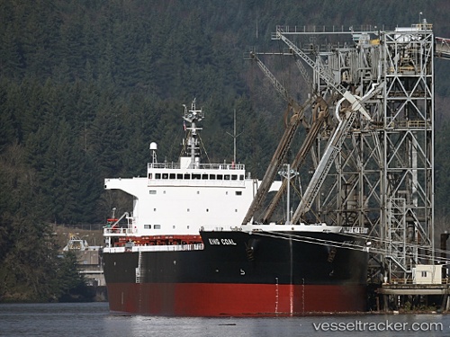
King Coal
Current StatusWhere is the vessel?
King Coal is currently in Near Interbay, based on AIS data received less than 1h ago.
Latest AIS update:
Current position: 47.62065° N, 122.37379° W (Near Interbay)
Average speed (last 7 days): Loading…
Average speed (last 30 days): Loading…
Vessel profile: King Coal is a Bulk Carrier with dimensions 32m x 225m.
This page combines live AIS, route history, probable destination signals, nearby traffic, and port activity for practical vessel monitoring.
The current position of vessel King Coal is 47.62065 lat / -122.37379 lng. Updated: 2026-05-16 12:01:06 UTCNearest reference points:
- Near Interbay
- Near Ballard/Seattle
- Near Madison Park
Details:
Live Vessel King Coal Analytics (details, animations, etc.)
Recent AIS points (UTC):
2026-05-16 07:55:04 UTC · 47.62057, -122.37311 · SOG 0.1 kn · COG 187°2026-05-16 09:46:05 UTC · 47.62055, -122.37423 · SOG 0.1 kn · COG 160°
2026-05-16 10:04:07 UTC · 47.62053, -122.37425 · SOG 0.2 kn · COG 155°
2026-05-16 12:01:06 UTC · 47.62065, -122.37379 · SOG 0 kn · COG 167°