 vesseltracker.com
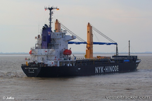
Matsushiro
Current StatusWhere is the vessel?
Matsushiro is currently in 23 nm SE of Malacca, based on AIS data received about 1h ago.
Latest AIS update:
Current position: 1.81103° N, 102.38223° E (23 nm SE of Malacca)
Average speed (last 7 days): Loading…
Average speed (last 30 days): Loading…
Vessel profile: Matsushiro is a Multi Purpose Carrier with dimensions 22m x 125m.
This page combines live AIS, route history, probable destination signals, nearby traffic, and port activity for practical vessel monitoring.
The current position of vessel Matsushiro is 1.81103 lat / 102.38223 lng. Updated: 2026-03-29 20:23:21 UTCNearest reference points:
- 29 nm W of Parit Raja
- 12 nm S of Tangkak
- Near Malacca
Details:
Live Vessel Matsushiro Analytics (details, animations, etc.)
Recent AIS points (UTC):
2026-03-29 13:32:10 UTC · 1.43610, 102.09852 · SOG 12 kn · COG 304°2026-03-29 15:21:40 UTC · 1.70906, 101.87324 · SOG 11.3 kn · COG 350°
2026-03-29 17:36:51 UTC · 2.01484, 101.95233 · SOG 10.2 kn · COG 59°
2026-03-29 20:23:21 UTC · 1.81103, 102.38223 · SOG 10.8 kn · COG 115°