 vesseltracker.com
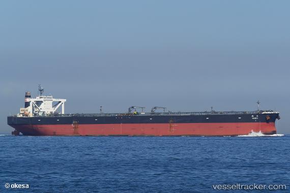
Takaoka
Current StatusWhere is the vessel?
Takaoka is currently in 87 nm E of ONAGAWA, based on AIS data received less than 1h ago.
Latest AIS update:
Current position: 38.00500° N, 143.21167° E (87 nm E of ONAGAWA)
Average speed (last 7 days): Loading…
Average speed (last 30 days): Loading…
Vessel profile: Takaoka is a Crude Oil Tanker with dimensions 60m x 333m.
This page combines live AIS, route history, probable destination signals, nearby traffic, and port activity for practical vessel monitoring.
The current position of vessel Takaoka is 38.00500 lat / 143.21167 lng. Updated: 2026-05-14 23:34:14 UTCNearest reference points:
- 89 nm E of Kamaishi
- Near ONAGAWA
- Near OFUNATO
Details:
Live Vessel Takaoka Analytics (details, animations, etc.)
Recent AIS points (UTC):
2026-05-14 20:25:15 UTC · 37.98500, 143.25500 · SOG 0 kn · COG -1°2026-05-14 21:43:46 UTC · 37.99312, 143.23874 · SOG 0.7 kn · COG 269°
2026-05-14 22:16:17 UTC · 37.99500, 143.23167 · SOG 0 kn · COG -1°
2026-05-14 23:34:14 UTC · 38.00500, 143.21167 · SOG 0 kn · COG -1°