 vesseltracker.com
 BULK MANARA
Current Status
Where is the vessel?
BULK MANARA is currently in 37 nm N of Taipei, based on AIS data received less than 1h ago.
Latest AIS update:
Current position: 25.75793° N, 121.14857° E (37 nm N of Taipei)
Average speed (last 7 days): Loading…
Average speed (last 30 days): Loading…
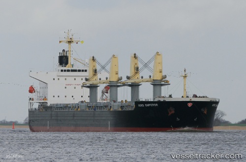
Vessel profile: BULK MANARA is a Bulk Carrier with dimensions 190m x 32m.
This page combines live AIS, route history, probable destination signals, nearby traffic, and port activity for practical vessel monitoring.
The current position of vessel BULK MANARA is 25.75793 lat / 121.14857 lng. Updated: 2026-05-13 22:04:38 UTCNearest reference points:
- 56 nm E of Beijiao
- 58 nm E of Beijiao
- 11 nm NE of Bali
Currently sailing under the flag of Liberia ![]()
BULK MANARA built in 2010 year
Deadweight:
55692 tDetails:
Live Vessel BULK MANARA Analytics (details, animations, etc.)
Recent AIS points (UTC):
2026-05-13 19:34:48 UTC · 25.44000, 121.59697 · SOG 12.2 kn · COG 310°2026-05-13 20:00:28 UTC · 25.49371, 121.52210 · SOG 12 kn · COG 312°
2026-05-13 21:24:38 UTC · 25.67295, 121.27004 · SOG 12.7 kn · COG 309°
2026-05-13 22:04:38 UTC · 25.75793, 121.14857 · SOG 12.2 kn · COG 310°