 vesseltracker.com
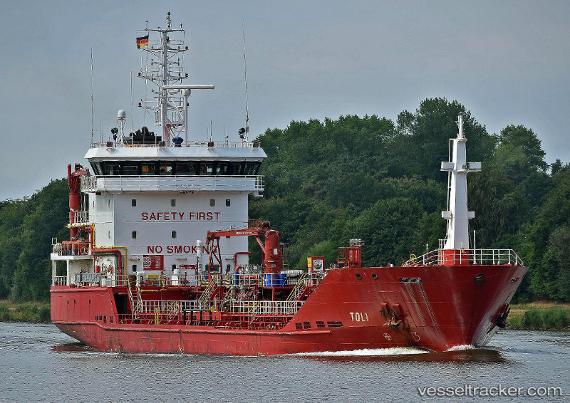
 WHITPROGRESS
Current Status
Where is the vessel?
WHITPROGRESS is currently in Near Pernis, based on AIS data received less than 1h ago.
Latest AIS update:
Current position: 51.89314° N, 4.36552° E (Near Pernis)
Average speed (last 7 days): Loading…
Average speed (last 30 days): Loading…
Vessel profile: WHITPROGRESS is a Oil/Chemical Tanker with dimensions m x m.
This page combines live AIS, route history, probable destination signals, nearby traffic, and port activity for practical vessel monitoring.
The current position of vessel WHITPROGRESS is 51.89314 lat / 4.36552 lng. Updated: 2026-05-16 12:20:42 UTCNearest reference points:
- Near Pernis
- Near VONDELINGENPLAAT - ROTTERDAM
- Near ROTTERDAM PERNIS
Currently sailing under the flag of United Kingdom ![]()
Details:
Live Vessel WHITPROGRESS Analytics (details, animations, etc.)
Recent AIS points (UTC):
2026-05-16 07:38:47 UTC · 51.89322, 4.36542 · SOG 0 kn · COG 16°2026-05-16 09:32:42 UTC · 51.89317, 4.36549 · SOG 0 kn · COG 16°
2026-05-16 10:02:50 UTC · 51.89319, 4.36548 · SOG 0 kn · COG 16°
2026-05-16 12:20:42 UTC · 51.89314, 4.36552 · SOG 0 kn · COG 16°