 vesseltracker.com
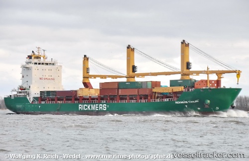
 GOTLAND
Current Status
Where is the vessel?
GOTLAND is currently in 78 nm SE of Port La Tour, based on AIS data received about 1h ago.
Latest AIS update:
Current position: 42.40333° N, 64.46000° W (78 nm SE of Port La Tour)
Average speed (last 7 days): Loading…
Average speed (last 30 days): Loading…
Vessel profile: GOTLAND is a General Cargo Ship with dimensions 23m x 144m.
This page combines live AIS, route history, probable destination signals, nearby traffic, and port activity for practical vessel monitoring.
The current position of vessel GOTLAND is 42.40333 lat / -64.46000 lng. Updated: 2026-05-15 17:20:52 UTCNearest reference points:
- Near Liverpool
- Near Lower Woods Harbour
- Near Wedgeport
Currently sailing under the flag of Portugal (MAR) ![]()
GOTLAND built in 2011 year
Deadweight:
17409 tDetails:
Live Vessel GOTLAND Analytics (details, animations, etc.)
Recent AIS points (UTC):
2026-05-15 14:05:52 UTC · 42.06333, -64.66500 · SOG 6 kn · COG -1°2026-05-15 16:17:52 UTC · 42.29500, -64.53833 · SOG 7 kn · COG -1°
2026-05-15 16:46:56 UTC · 42.34553, -64.50039 · SOG 7.2 kn · COG 32°
2026-05-15 17:20:52 UTC · 42.40333, -64.46000 · SOG 6 kn · COG -1°