 vesseltracker.com
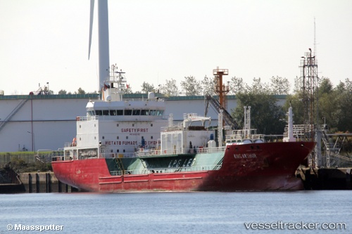
King Arthur
Current StatusWhere is the vessel?
King Arthur is currently in Near Punta Umbría, based on AIS data received about 1h ago.
Latest AIS update:
Current position: 37.10807° N, 6.86463° W (Near Punta Umbría)
Average speed (last 7 days): Loading…
Average speed (last 30 days): Loading…
Vessel profile: King Arthur is a Lpg Tanker with dimensions 16m x 103m.
This page combines live AIS, route history, probable destination signals, nearby traffic, and port activity for practical vessel monitoring.
The current position of vessel King Arthur is 37.10807 lat / -6.86463 lng. Updated: 2026-05-14 07:20:58 UTCNearest reference points:
- Near Punta Umbría
- Near La Antilla
- Near VILA REAL ST ANTONIO
Details:
Live Vessel King Arthur Analytics (details, animations, etc.)
Recent AIS points (UTC):
2026-05-14 04:11:58 UTC · 37.10782, -6.86496 · SOG 0 kn · COG 334°2026-05-14 06:17:52 UTC · 37.10799, -6.86473 · SOG 0.1 kn · COG 316°
2026-05-14 07:02:56 UTC · 37.10801, -6.86468 · SOG 0 kn · COG 309°
2026-05-14 07:20:58 UTC · 37.10807, -6.86463 · SOG 0 kn · COG 306°