 vesseltracker.com
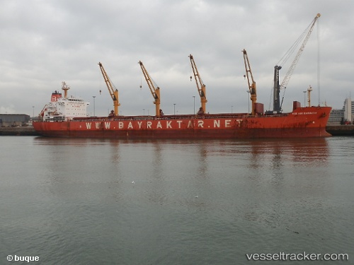
 ECE NUR BAYRAKTAR
Current Status
Where is the vessel?
ECE NUR BAYRAKTAR is currently in Open sea, approx. 521 nm off the nearest listed port, based on AIS data received less than 1h ago.
Latest AIS update:
Current position: 5.01318° S, 79.93437° E (Open sea, approx. 521 nm off the nearest listed port)
Average speed (last 7 days): Loading…
Average speed (last 30 days): Loading…
Vessel profile: ECE NUR BAYRAKTAR is a Bulk Carrier with dimensions m x m.
This page combines live AIS, route history, probable destination signals, nearby traffic, and port activity for practical vessel monitoring.
The current position of vessel ECE NUR BAYRAKTAR is -5.01318 lat / 79.93437 lng. Updated: 2026-05-17 21:25:52 UTCNearest reference points:
- Open sea, approx. 521 nm off the nearest listed port
- Open sea, approx. 519 nm off the nearest listed port
- Open sea, approx. 520 nm off the nearest listed port
Currently sailing under the flag of Marshall Islands ![]()
Details:
Live Vessel ECE NUR BAYRAKTAR Analytics (details, animations, etc.)
Recent AIS points (UTC):
2026-05-17 18:15:13 UTC · -5.36177, 79.46256 · SOG 11.6 kn · COG 56°2026-05-17 19:18:14 UTC · -5.24998, 79.62280 · SOG 10.8 kn · COG 47°
2026-05-17 19:35:24 UTC · -5.21893, 79.66405 · SOG 10.7 kn · COG 47°
2026-05-17 21:25:52 UTC · -5.01318, 79.93437 · SOG 11.1 kn · COG 48°