 vesseltracker.com
 V PACIFIC
Current Status
Where is the vessel?
V PACIFIC is currently in 23 nm S of Parit Raja, based on AIS data received less than 1h ago.
Latest AIS update:
Current position: 1.51961° N, 102.97320° E (23 nm S of Parit Raja)
Average speed (last 7 days): Loading…
Average speed (last 30 days): Loading…
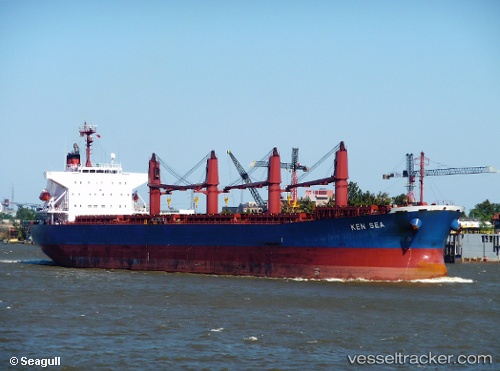
Vessel profile: V PACIFIC is a Bulk Carrier with dimensions 32m x 190m.
This page combines live AIS, route history, probable destination signals, nearby traffic, and port activity for practical vessel monitoring.
The current position of vessel V PACIFIC is 1.51961 lat / 102.97320 lng. Updated: 2026-04-25 03:34:37 UTCNearest reference points:
- 17 nm NE of Perawang
- 19 nm W of Tanjong Bin
- 29 nm W of Parit Raja
Currently sailing under the flag of Panama ![]()
V PACIFIC built in 2009 year
Deadweight:
53491 tDetails:
Live Vessel V PACIFIC Analytics (details, animations, etc.)
Recent AIS points (UTC):
2026-04-25 00:03:09 UTC · 1.76059, 102.53793 · SOG 8.5 kn · COG 117°2026-04-25 01:28:59 UTC · 1.66561, 102.71395 · SOG 8.4 kn · COG 119°
2026-04-25 02:11:37 UTC · 1.62113, 102.80324 · SOG 8.5 kn · COG 118°
2026-04-25 03:34:37 UTC · 1.51961, 102.97320 · SOG 8.8 kn · COG 123°