 vesseltracker.com
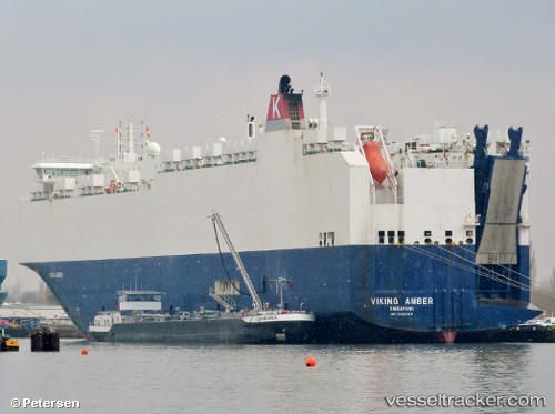
 ASTURIAS
Current Status
Where is the vessel?
ASTURIAS is currently in 17 nm NW of Casablanca, based on AIS data received less than 1h ago.
Latest AIS update:
Current position: 33.87586° N, 7.74038° W (17 nm NW of Casablanca)
Average speed (last 7 days): Loading…
Average speed (last 30 days): Loading…
Vessel profile: ASTURIAS is a Vehicles Carrier with dimensions m x m.
This page combines live AIS, route history, probable destination signals, nearby traffic, and port activity for practical vessel monitoring.
The current position of vessel ASTURIAS is 33.87586 lat / -7.74038 lng. Updated: 2026-05-15 03:47:28 UTCNearest reference points:
- Near Mohammedia
- 54 nm N of El Jadida
- Near Jorf Lasfar
Currently sailing under the flag of Portugal ![]()
Details:
Live Vessel ASTURIAS Analytics (details, animations, etc.)
Recent AIS points (UTC):
2026-05-14 22:57:48 UTC · 33.97871, -7.69215 · SOG 1.3 kn · COG 60°2026-05-14 23:47:18 UTC · 33.95899, -7.69799 · SOG 1.3 kn · COG 71°
2026-05-15 01:14:18 UTC · 33.92824, -7.71289 · SOG 1.4 kn · COG 68°
2026-05-15 03:47:28 UTC · 33.87586, -7.74038 · SOG 1.5 kn · COG 61°