 vesseltracker.com
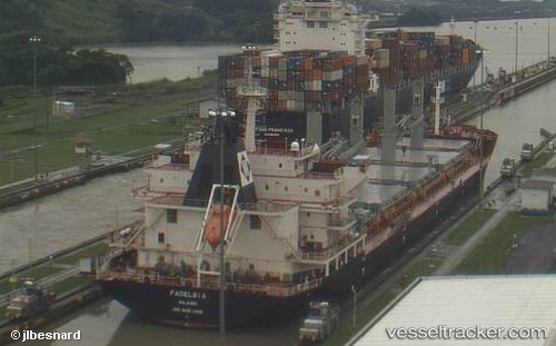
 NAVI VEGA
Current Status
Where is the vessel?
NAVI VEGA is currently in Near Tjilatjap, based on AIS data received less than 1h ago.
Latest AIS update:
Current position: 7.73252° S, 108.99186° E (Near Tjilatjap)
Average speed (last 7 days): Loading…
Average speed (last 30 days): Loading…
Vessel profile: NAVI VEGA is a Bulk Carrier with dimensions m x m.
This page combines live AIS, route history, probable destination signals, nearby traffic, and port activity for practical vessel monitoring.
The current position of vessel NAVI VEGA is -7.73252 lat / 108.99186 lng. Updated: 2026-05-15 23:08:47 UTCNearest reference points:
- Near Batang
- 26 nm N of Pemalang
- 25 nm N of Gunungsari
Currently sailing under the flag of Marshall Islands ![]()
Details:
Live Vessel NAVI VEGA Analytics (details, animations, etc.)
Recent AIS points (UTC):
2026-05-15 19:05:48 UTC · -7.73255, 108.99187 · SOG 0 kn · COG 41°2026-05-15 19:30:14 UTC · -7.73167, 108.99166 · SOG 0 kn · COG -1°
2026-05-15 22:17:49 UTC · -7.73255, 108.99187 · SOG 0 kn · COG 41°
2026-05-15 23:08:47 UTC · -7.73252, 108.99186 · SOG 0 kn · COG 41°