 vesseltracker.com
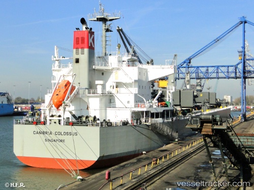
 Ganga K
Current Status
Where is the vessel?
Ganga K is currently in Near Nansha, based on AIS data received less than 1h ago.
Latest AIS update:
Current position: 22.73542° N, 113.67233° E (Near Nansha)
Average speed (last 7 days): Loading…
Average speed (last 30 days): Loading…
Vessel profile: Ganga K is a Bulk Carrier with dimensions 198m x 198m.
This page combines live AIS, route history, probable destination signals, nearby traffic, and port activity for practical vessel monitoring.
The current position of vessel Ganga K is 22.73542 lat / 113.67233 lng. Updated: 2026-05-14 09:27:33 UTCNearest reference points:
- Near Nansha
- Near Humen Pt
- Near Nansha Pt
Currently sailing under the flag of India ![]()
Ganga K built in 2011 year
Deadweight:
58849 tDetails:
Live Vessel Ganga K Analytics (details, animations, etc.)
Recent AIS points (UTC):
2026-05-14 05:21:32 UTC · 22.73597, 113.67247 · SOG 0.1 kn · COG 323°2026-05-14 07:45:34 UTC · 22.73573, 113.67227 · SOG 0 kn · COG 323°
2026-05-14 07:57:34 UTC · 22.73533, 113.67225 · SOG 0 kn · COG 323°
2026-05-14 09:27:33 UTC · 22.73542, 113.67233 · SOG 0 kn · COG 323°