 vesseltracker.com
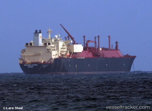
Sonangol Etosha
Current StatusWhere is the vessel?
Sonangol Etosha is currently in 201 nm S of Matara, based on AIS data received less than 1h ago.
Latest AIS update:
Current position: 2.62333° N, 80.06833° E (201 nm S of Matara)
Average speed (last 7 days): Loading…
Average speed (last 30 days): Loading…
Vessel profile: Sonangol Etosha is a Lng Tanker with dimensions 42m x 291m.
This page combines live AIS, route history, probable destination signals, nearby traffic, and port activity for practical vessel monitoring.
The current position of vessel Sonangol Etosha is 2.62333 lat / 80.06833 lng. Updated: 2026-05-15 22:02:12 UTCNearest reference points:
- 94 nm SW of Galle
- 321 nm S of Matara
Details:
Live Vessel Sonangol Etosha Analytics (details, animations, etc.)
Recent AIS points (UTC):
2026-05-15 17:53:13 UTC · 1.59667, 79.42667 · SOG 18 kn · COG -1°2026-05-15 19:20:09 UTC · 1.95667, 79.65167 · SOG 17 kn · COG -1°
2026-05-15 20:23:09 UTC · 2.21333, 79.81333 · SOG 17 kn · COG -1°
2026-05-15 22:02:12 UTC · 2.62333, 80.06833 · SOG 17 kn · COG -1°