 vesseltracker.com
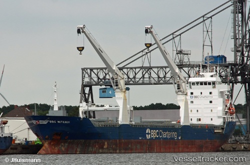
Uniscout
Current StatusWhere is the vessel?
Uniscout is currently in Near Burgas, based on AIS data received about 2h ago.
Latest AIS update:
Current position: 42.46777° N, 27.49107° E (Near Burgas)
Average speed (last 7 days): Loading…
Average speed (last 30 days): Loading…
Vessel profile: Uniscout is a Multi Purpose Carrier with dimensions 16m x 132m.
This page combines live AIS, route history, probable destination signals, nearby traffic, and port activity for practical vessel monitoring.
The current position of vessel Uniscout is 42.46777 lat / 27.49107 lng. Updated: 2026-05-15 00:56:02 UTCNearest reference points:
- Near Beloslav
- Near Ignatievo
- Near IGNEADA
Details:
Live Vessel Uniscout Analytics (details, animations, etc.)
Recent AIS points (UTC):
2026-05-14 21:36:58 UTC · 42.46769, 27.49102 · SOG 0 kn · COG 249°2026-05-14 22:42:00 UTC · 42.46757, 27.49104 · SOG 0 kn · COG 251°
2026-05-14 23:55:59 UTC · 42.46775, 27.49104 · SOG 0 kn · COG 246°
2026-05-15 00:56:02 UTC · 42.46777, 27.49107 · SOG 0 kn · COG 246°