 vesseltracker.com
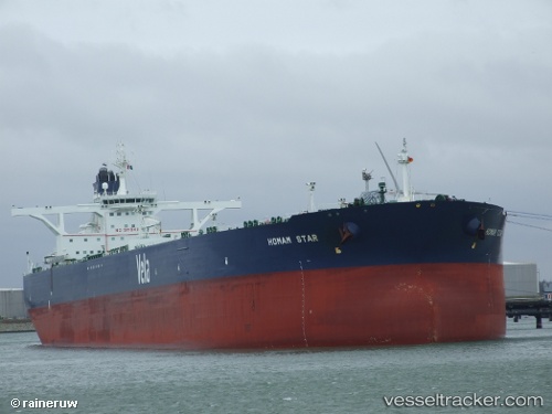
Farhah
Current StatusWhere is the vessel?
Farhah is currently in 38 nm SW of Al Muajjiz, based on AIS data received less than 1h ago.
Latest AIS update:
Current position: 23.09705° N, 37.82703° E (38 nm SW of Al Muajjiz)
Average speed (last 7 days): Loading…
Average speed (last 30 days): Loading…
Vessel profile: Farhah is a Crude Oil Tanker with dimensions 60m x 333m.
This page combines live AIS, route history, probable destination signals, nearby traffic, and port activity for practical vessel monitoring.
The current position of vessel Farhah is 23.09705 lat / 37.82703 lng. Updated: 2026-05-15 05:37:01 UTCNearest reference points:
- 30 nm SW of Yanbu
- 95 nm SW of Al Muajjiz
- 74 nm SW of Yanbu
Details:
Live Vessel Farhah Analytics (details, animations, etc.)
Recent AIS points (UTC):
2026-05-14 22:14:19 UTC · 18.78355, 38.00756 · SOG 29.3 kn · COG 328°2026-05-14 22:14:19 UTC · 18.78355, 38.00756 · SOG 29.3 kn · COG 328°
2026-05-15 04:17:01 UTC · 23.13699, 37.81400 · SOG 0.1 kn · COG 243°
2026-05-15 05:37:01 UTC · 23.09705, 37.82703 · SOG 1.7 kn · COG 214°