 vesseltracker.com
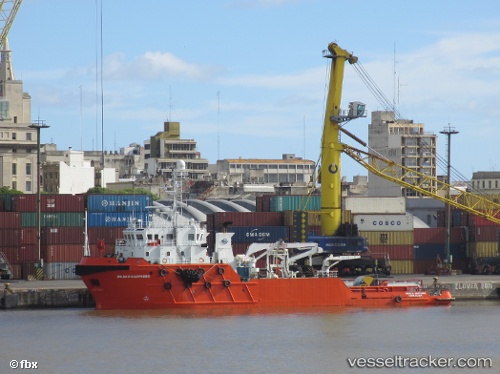
 OCEAN DEE
Current Status
Where is the vessel?
OCEAN DEE is currently in 92 nm E of Conceicao da Barra, based on AIS data received less than 1h ago.
Latest AIS update:
Current position: 18.87833° S, 38.15333° W (92 nm E of Conceicao da Barra)
Average speed (last 7 days): Loading…
Average speed (last 30 days): Loading…
Vessel profile: OCEAN DEE is a Offshore Tug/Supply Ship with dimensions 58m x 14m.
This page combines live AIS, route history, probable destination signals, nearby traffic, and port activity for practical vessel monitoring.
The current position of vessel OCEAN DEE is -18.87833 lat / -38.15333 lng. Updated: 2026-05-14 02:48:15 UTCNearest reference points:
- 91 nm E of Conceicao da Barra
- 66 nm NE of Espírito Santo FPSO
- 169 nm E of Alcobaca
Currently sailing under the flag of Norway (NIS) ![]()
OCEAN DEE built in 2007 year
Deadweight:
1200 tDetails:
Live Vessel OCEAN DEE Analytics (details, animations, etc.)
Recent AIS points (UTC):
2026-05-13 22:15:14 UTC · -19.38833, -38.39333 · SOG 7 kn · COG -1°2026-05-13 23:36:14 UTC · -19.23833, -38.32333 · SOG 7 kn · COG -1°
2026-05-14 02:00:14 UTC · -18.96666, -38.19667 · SOG 7 kn · COG -1°
2026-05-14 02:48:15 UTC · -18.87833, -38.15333 · SOG 6 kn · COG -1°