 vesseltracker.com
 BERGE BINTUMANI
Current Status
Where is the vessel?
BERGE BINTUMANI is currently in 20 nm S of ZHOUSHAN, based on AIS data received less than 1h ago.
Latest AIS update:
Current position: 29.64986° N, 122.28693° E (20 nm S of ZHOUSHAN)
Average speed (last 7 days): Loading…
Average speed (last 30 days): Loading…
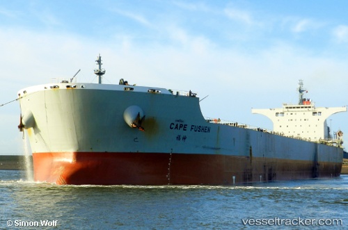
Vessel profile: BERGE BINTUMANI is a Bulk Carrier with dimensions 292m x 45m.
This page combines live AIS, route history, probable destination signals, nearby traffic, and port activity for practical vessel monitoring.
The current position of vessel BERGE BINTUMANI is 29.64986 lat / 122.28693 lng. Updated: 2026-05-17 05:32:28 UTCNearest reference points:
- 20 nm E of Shipu
- 11 nm S of ZHOUSHAN
- 12 nm SE of ZHOUSHAN
Currently sailing under the flag of Liberia ![]()
BERGE BINTUMANI built in 2008 year
Deadweight:
177890 tDetails:
Live Vessel BERGE BINTUMANI Analytics (details, animations, etc.)
Recent AIS points (UTC):
2026-05-17 02:08:17 UTC · 29.65439, 122.29018 · SOG 0.1 kn · COG 196°2026-05-17 03:41:20 UTC · 29.65315, 122.29115 · SOG 0.1 kn · COG 224°
2026-05-17 04:14:25 UTC · 29.65132, 122.29124 · SOG 0.2 kn · COG 270°
2026-05-17 05:32:28 UTC · 29.64986, 122.28693 · SOG 0 kn · COG 45°