 vesseltracker.com
 PETROS S
Current Status
Where is the vessel?
PETROS S is currently in 30 nm SE of Claonaig, based on AIS data received less than 1h ago.
Latest AIS update:
Current position: 55.29667° N, 5.74333° E (30 nm SE of Claonaig)
Average speed (last 7 days): Loading…
Average speed (last 30 days): Loading…
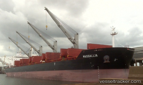
Vessel profile: PETROS S is a Bulk Carrier with dimensions m x m.
This page combines live AIS, route history, probable destination signals, nearby traffic, and port activity for practical vessel monitoring.
The current position of vessel PETROS S is 55.29667 lat / 5.74333 lng. Updated: 2026-05-15 13:10:36 UTCNearest reference points:
- 14 nm NW of Town Quays/Drogheda
- 36 nm W of HVIDE SANDE
- Near Borkum
Currently sailing under the flag of Liberia ![]()
Details:
Live Vessel PETROS S Analytics (details, animations, etc.)
Recent AIS points (UTC):
2026-05-15 10:07:33 UTC · 54.88093, 5.34245 · SOG 9.2 kn · COG 24°2026-05-15 11:43:55 UTC · 55.09244, 5.55289 · SOG 8.9 kn · COG 23°
2026-05-15 13:05:43 UTC · 55.28608, 5.73157 · SOG 9.6 kn · COG 26°
2026-05-15 13:10:36 UTC · 55.29667, 5.74333 · SOG 10 kn · COG -1°