 vesseltracker.com
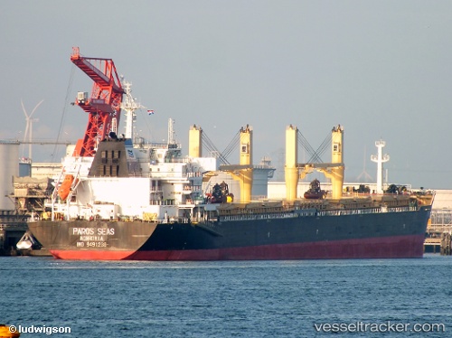
Dayang Century
Current StatusWhere is the vessel?
Dayang Century is currently in 39 nm S of Souillac, based on AIS data received about 1h ago.
Latest AIS update:
Current position: 21.15100° S, 57.37695° E (39 nm S of Souillac)
Average speed (last 7 days): Loading…
Average speed (last 30 days): Loading…
Vessel profile: Dayang Century is a Bulk Carrier with dimensions 32m x 189m.
This page combines live AIS, route history, probable destination signals, nearby traffic, and port activity for practical vessel monitoring.
The current position of vessel Dayang Century is -21.15100 lat / 57.37695 lng. Updated: 2026-05-17 11:46:55 UTCNearest reference points:
- Near Port Louis
- 61 nm NW of Al Azaiba
Details:
Live Vessel Dayang Century Analytics (details, animations, etc.)
Recent AIS points (UTC):
2026-05-17 07:57:58 UTC · -21.41167, 56.86333 · SOG 8 kn · COG -1°2026-05-17 09:53:07 UTC · -21.27481, 57.12207 · SOG 8.2 kn · COG 67°
2026-05-17 10:39:54 UTC · -21.22333, 57.22500 · SOG 8 kn · COG -1°
2026-05-17 11:46:55 UTC · -21.15100, 57.37695 · SOG 8.5 kn · COG 69°