 vesseltracker.com
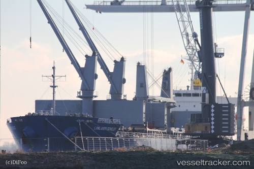
 ARGYROULA GS
Current Status
Where is the vessel?
ARGYROULA GS is currently in 12 nm NE of Sulina (Port et Zone Franche), based on AIS data received about 4d ago.
Latest AIS update:
Current position: 45.27783° N, 29.89271° E (12 nm NE of Sulina (Port et Zone Franche))
Average speed (last 7 days): Loading…
Average speed (last 30 days): Loading…
Vessel profile: ARGYROULA GS is a General Cargo Ship with dimensions 177m x 177m.
This page combines live AIS, route history, probable destination signals, nearby traffic, and port activity for practical vessel monitoring.
The current position of vessel ARGYROULA GS is 45.27783 lat / 29.89271 lng. Updated: 2026-05-10 02:36:47 UTCNearest reference points:
- Near Ust-Dunaisk/Vylkove
- 13 nm E of Sulina (Port et Zone Franche)
- 12 nm SE of Sulina (Port et Zone Franche)
Currently sailing under the flag of Marshall Islands ![]()
ARGYROULA GS built in 2011 year
Deadweight:
33178 tDetails:
Live Vessel ARGYROULA GS Analytics (details, animations, etc.)
Recent AIS points (UTC):
2026-05-10 02:36:47 UTC · 45.27783, 29.89271 · SOG 11.4 kn · COG 21°2026-05-10 02:36:47 UTC · 45.27783, 29.89271 · SOG 11.4 kn · COG 21°
2026-05-10 02:36:47 UTC · 45.27783, 29.89271 · SOG 11.4 kn · COG 21°
2026-05-10 02:36:47 UTC · 45.27783, 29.89271 · SOG 11.4 kn · COG 21°