 vesseltracker.com
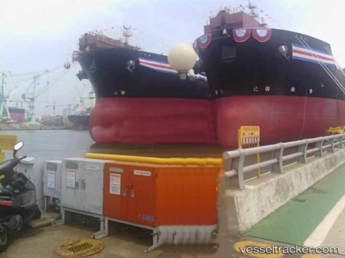
Angra Dos Reis
Current StatusWhere is the vessel?
Angra Dos Reis is currently in 61 nm W of Cidade de Angra dos Reis FPSO, based on AIS data received less than 1h ago.
Latest AIS update:
Current position: 25.70202° S, 43.93889° W (61 nm W of Cidade de Angra dos Reis FPSO)
Average speed (last 7 days): Loading…
Average speed (last 30 days): Loading…
Vessel profile: Angra Dos Reis is a Crude Oil Tanker with dimensions 42m x 245m.
This page combines live AIS, route history, probable destination signals, nearby traffic, and port activity for practical vessel monitoring.
The current position of vessel Angra Dos Reis is -25.70202 lat / -43.93889 lng. Updated: 2026-05-17 13:51:39 UTCNearest reference points:
- 34 nm S of Cidade de Angra dos Reis FPSO
- 61 nm S of TEBIG
- 56 nm S of Sao Sebastiao
Details:
Live Vessel Angra Dos Reis Analytics (details, animations, etc.)
Recent AIS points (UTC):
2026-05-17 10:57:20 UTC · -25.77610, -44.56494 · SOG 11.6 kn · COG 80°2026-05-17 11:29:42 UTC · -25.76366, -44.44975 · SOG 11.7 kn · COG 83°
2026-05-17 13:51:39 UTC · -25.70202, -43.93889 · SOG 12.1 kn · COG 82°
2026-05-17 13:51:39 UTC · -25.70202, -43.93889 · SOG 12.1 kn · COG 82°