 vesseltracker.com
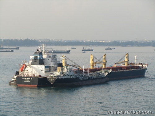
Anastasia K
Current StatusWhere is the vessel?
Anastasia K is currently in 12 nm SE of Quequen, based on AIS data received less than 1h ago.
Latest AIS update:
Current position: 38.66667° S, 58.45333° W (12 nm SE of Quequen)
Average speed (last 7 days): Loading…
Average speed (last 30 days): Loading…
Vessel profile: Anastasia K is a Bulk Carrier with dimensions 33m x 229m.
This page combines live AIS, route history, probable destination signals, nearby traffic, and port activity for practical vessel monitoring.
The current position of vessel Anastasia K is -38.66667 lat / -58.45333 lng. Updated: 2026-04-24 00:16:10 UTCNearest reference points:
- Near NECOCHEA
- Near Mar Del Plata
Details:
Live Vessel Anastasia K Analytics (details, animations, etc.)
Recent AIS points (UTC):
2026-04-23 20:13:12 UTC · -38.66667, -58.45333 · SOG 0 kn · COG -1°2026-04-23 21:49:12 UTC · -38.66667, -58.45333 · SOG 0 kn · COG -1°
2026-04-23 22:58:12 UTC · -38.66667, -58.45333 · SOG 0 kn · COG -1°
2026-04-24 00:16:10 UTC · -38.66667, -58.45333 · SOG 0 kn · COG -1°